Atayal culture, legal hot springs and mountain-road decisions
Tai'an is a large mountain township without a railway station. Qing'an, Jinshui and the Xuejian corridor require different transport, booking and safety decisions; buses are limited and the high-country sites need a confirmed vehicle and return plan.
ATAYAL CULTURE · HOT SPRINGS · XUEJIAN · MOUNTAIN SAFETY
Suggested stayHalf day to overnight
Best gatewayConfirmed bus + reserved vehicle
This guide6 places + 3 routes
TAI'AN AT A GLANCE
Know before you go
Official information checked 1 August 2026; reconfirm transport, road status, opening, legal accommodation, weather and the return plan before departure.
Layout
Tai'an is a large mountain township without a railway station. Qing'an, Jinshui and the Xuejian corridor require different transport, booking and safety decisions; buses are limited and the high-country sites need a confirmed vehicle and return plan.
Transport
Check the Happiness Bus or regional connection in both directions, including reservation deadlines and the last return. Xuejian, Erbensong and Henglong cannot rely on an on-demand hill taxi.
Weather
Cancel mountain roads, river edges and trails for heavy rain, rising water, landslide warnings, fog, rockfall, closure or insufficient daylight.
Local etiquette
Atayal exhibitions, community life and ceremonies are not generic performances. Follow the venue and community rules for entry, photography, objects and group activity.
Food, transport, legal stays, culture, mountain safety and emergencies
Official operators determine access. Maps connect public vehicle points and never represent walking trails, riverbeds or controlled roads as ordinary driving access.
EAT
Food and supplies
Eat and restock in Qing'an during confirmed business hours. Xuejian has no fuel, restaurant or accommodation.
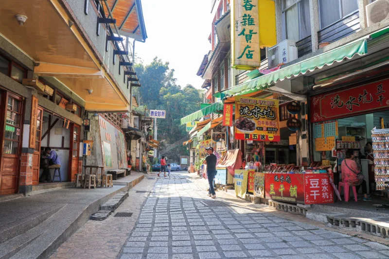
A public street near the confluence of two rivers, known for handmade tofu, Hakka food and Atayal-influenced mountain-town life. Individual businesses keep their own hours.
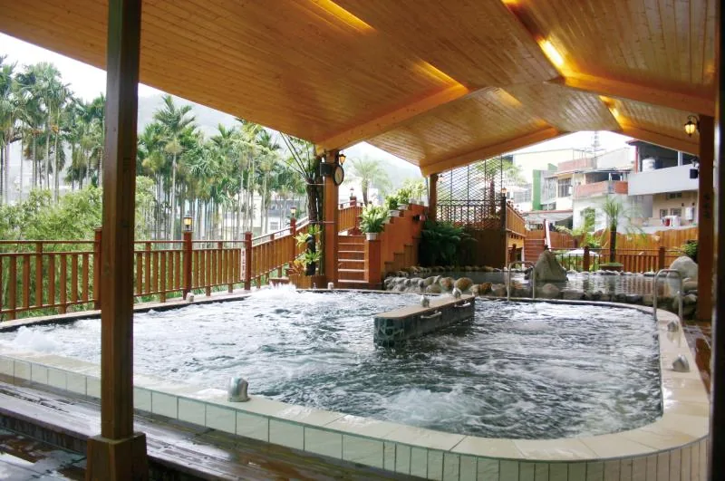
A hot-spring district in the Wenshui River valley. Book a licensed accommodation or operator; the area name does not grant public access to a riverbed, source or hotel.
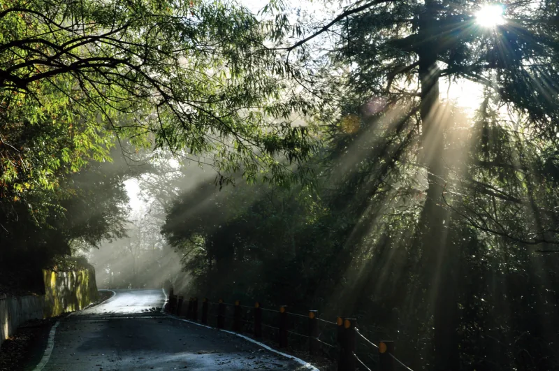
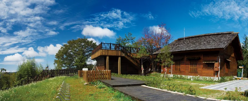
A national-park base at about 1,870 metres. Separate a visitor-centre visit, the short forest walks and any advanced mountain route; current road and trail status governs the day.
Miaoli Atayal Indigenous Cultural and Industrial Park
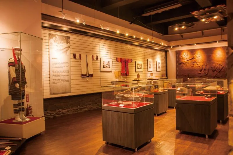
A public cultural park and museum in Yuandun. Learn through exhibitions, crafts and community-curated programmes without treating ceremony or everyday culture as entertainment.
Erbensong Interpretation Station and Maruta Battery Trail
A forest-road interpretation point and a roughly 745-metre historic trail. Explain the colonial surveillance and conflict affecting Atayal communities, rather than presenting the remains only as Japanese scenery.
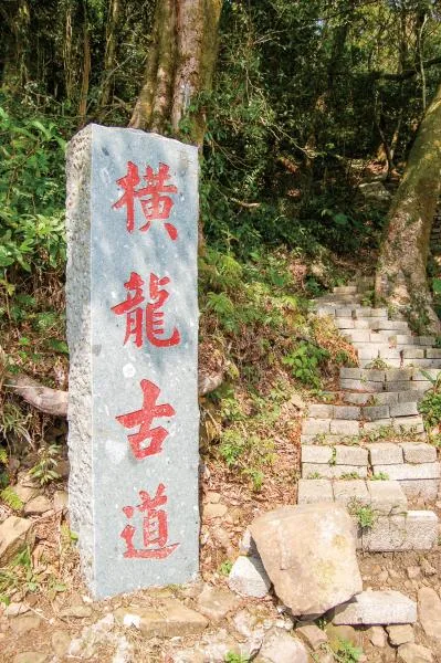
Henglong Historic Trail — Siwasik / Longshan Community Side
A mountain path from the public access above Longshan Community toward Henglong's north peak. The last industrial road and the walking trail must not be represented as an ordinary driving route.